Sierra Leone · Where to Go
Destinations
A mountain range that drops straight into the Atlantic, an archipelago an hour from the capital by boat, rainforest with chimpanzees and pygmy hippos in it, and beaches that would be famous anywhere else on earth. Sierra Leone is small, which means you can see a great deal in two weeks, if you understand the roads and the seasons.
- CapitalFreetown
- CoastlineAbout 400 km
- Best monthsNov – Apr
- RainsMay – Oct, heavy
- Getting aroundRoad & boat
- Two weeksCoast + one park
The shape of the country
Almost everything a first-time visitor wants is on the Freetown peninsula: a range of forested hills running south from the capital, with a string of beaches along its western side and the Atlantic in front of them. You can be at an empty beach forty minutes after leaving the city, traffic permitting.
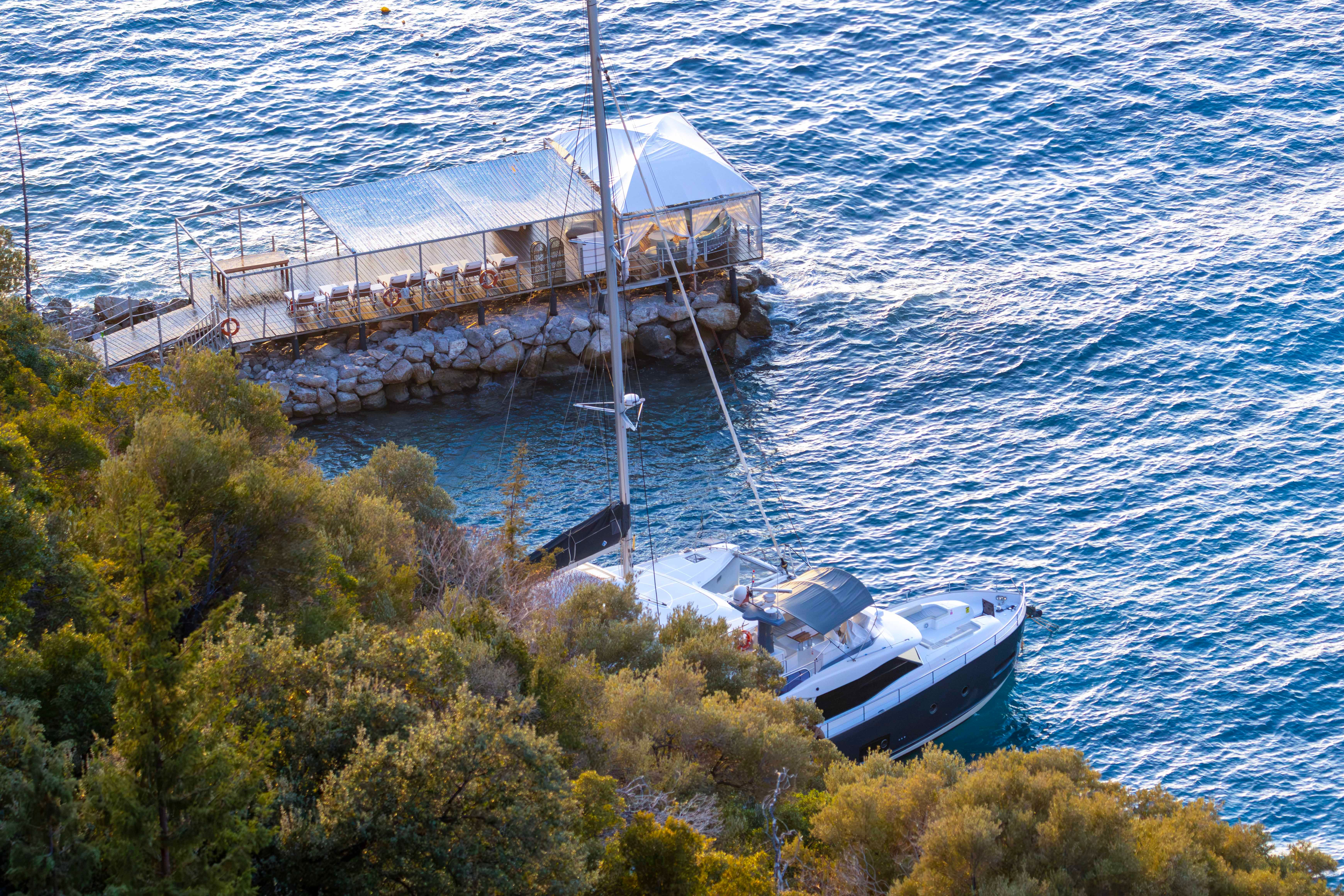
Offshore lie the Banana Islands, close enough for a day trip but better as an overnight, and much further south the remote Turtle Islands.
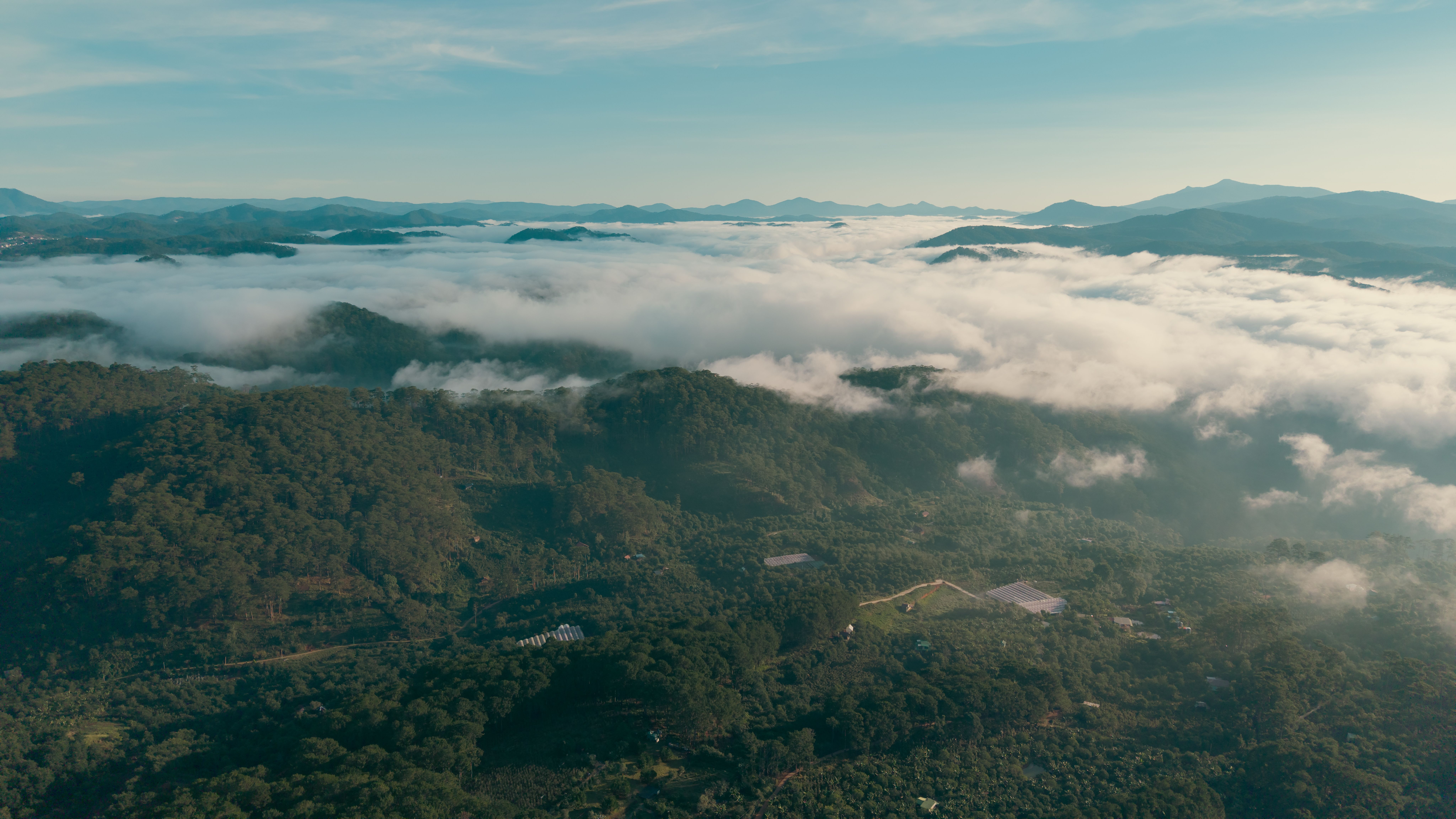
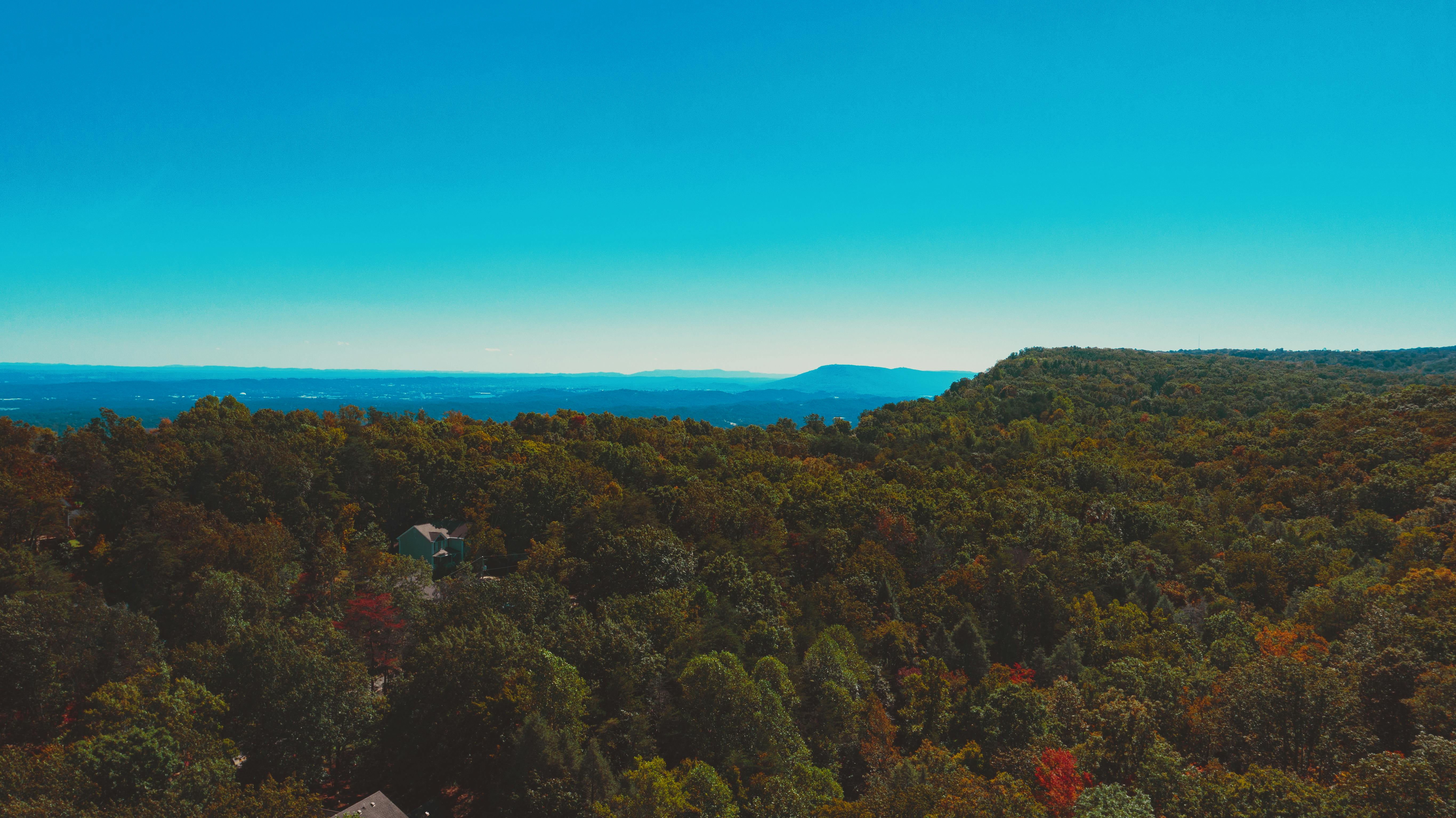
Inland, the country divides roughly into the south and east, where the remaining rainforest is, around Bo, Kenema, Tiwai and Gola, and the north, drier savannah country around Makeni and up to Outamba-Kilimi on the Guinean border.
Distances look small on a map. They are not small in hours. Roads outside the main corridors are slow, and in the rains some become impassable. Plan by travel time, not by kilometres.
Coast & islands
This is what people come back for, and what almost nobody outside the region has seen photographs of.
-
The peninsula beaches
Beach by beach down the west coast: what each one is like, how busy, how to get there, and where the sea is safe to swim.
-
River Number Two
The best-known beach in the country, where a river meets the Atlantic, run by a community association rather than a resort.
-
Banana Islands
An hour by boat from the peninsula: clear water, snorkelling, church ruins and the remains of a slave-trading settlement.
-
Turtle Islands
Far south, hard to reach, few facilities, and about as close to an untouched Atlantic archipelago as West Africa still offers.
-
Freetown
A capital built on a slope above a natural harbour: the markets, the hill districts, the traffic and how to handle it.
Wildlife & forest
Sierra Leone sits in the Upper Guinean forest belt, one of the most threatened and most biologically remarkable ecosystems in Africa.
-
Tacugama
Rescued chimpanzees in the forested hills above Freetown. The most reliable half-day trip in the country, and a serious conservation operation.
-
Tiwai Island
A river island in the south-east with one of the highest primate densities recorded anywhere, and a community-run camp.
-
Gola Rainforest
The country's largest surviving rainforest, on the Liberian border, with forest elephants, pygmy hippos and several hundred bird species.
-
Outamba-Kilimi
Savannah, rivers and hippos in the far north. Basic facilities, very few visitors, and a completely different landscape.
Cities & regions
-
Bo
The second city and the heart of the south. The natural base for anyone heading east toward Tiwai and Gola.
-
Kenema & the east
Forest country, the diamond districts, and the roads toward the Liberian border.
-
Makeni & the north
The northern hub, drier and flatter, and the route toward Outamba-Kilimi and Guinea.
Planning it honestly
One week: Freetown, the peninsula beaches, Tacugama and the Banana Islands. That is a genuinely good week and involves almost no long road travel.
Two weeks: the same, plus Bo and Tiwai Island, or the north. Add a day of slack for a road that takes longer than anyone told you.
The rains matter more here than almost anywhere in West Africa. Freetown is one of the wettest capital cities on the continent. From roughly May to October, dirt roads deteriorate, boat crossings get cancelled, and forest camps may be shut. The dry season runs roughly November to April, with the harmattan haze in December and January.
The sea is not always safe. These beaches have currents and no lifeguards. Ask locally, watch where people actually swim, and never assume a calm-looking surface means a safe one.
Book the difficult things through people on the ground. Boats, park entries and remote camps are arranged locally rather than online, and prices move. Any figure you read on the internet, including on this site, is a guide rather than a quote.
Connected reading
- Travel tips — arriving, money, transport, seasons and safety.
- Visa & entry requirements — what you need before you book.
- Heritage — Bunce Island, the Krio settlers and the museums.
- Arriving: the Lungi crossing — the estuary between the airport and the city.
- Sierra Leone: the country built by people taken off the ships — the full history behind the place names.
- Beaches of Ghana — the same honest treatment, one coast east.
- Contact — corrections and local knowledge are welcome.
Checked: 19 September 2026. Individual destination pages carry their own check dates. Road conditions, boat services, park access and prices change frequently and seasonally; confirm locally before committing to a route. Corrections are published in full.